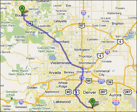
Boulder is not one of the main cities in Colorado. It
is, however, in close proximity to Denver- the capital of Colorado.
There is not much in common Boulder (or even Colorado for that matter) have in common with the Megalopolis region. For one, the site and situation characteristics are extremely different.
Colorado's only nearby water is from rivers and lakes. Megalopolis, on the other hand, is practically strategically bordering the ocean. Not to mention the fact that the ocean plays such an important part in how Megalopolis developed, and it is no where near Colorado...
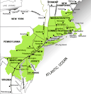
Megalopolis:
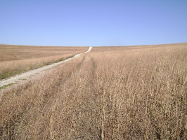
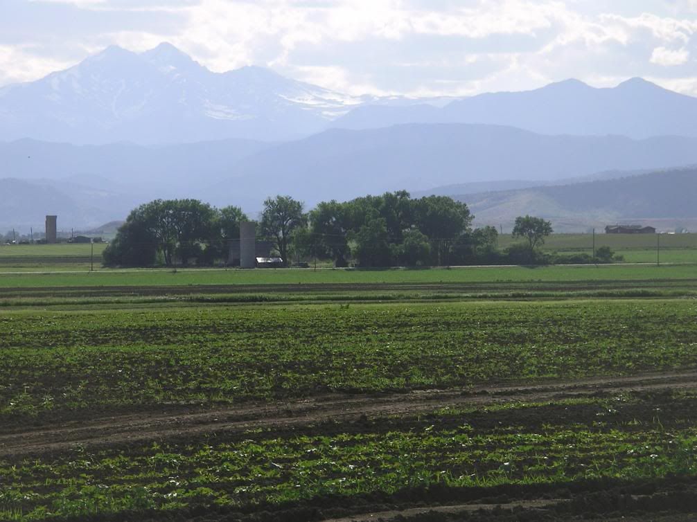
Colorado:
Absolutely crucial to Megalopolis was the ocean ports and canals allowing access to the major cities. Much of Colorado, Boulder included, was difficult to get to. Only when settlers were motivated by the discovery of precious metals (gold and silver) did people make their way into the region.
Another contrast is that Megalopolis averages 901 people per square mile, where Colorado is only 41.5. In the year 2000, Megalopolis had 17% of the United States population living in 1.5% of the United States area. This region alone holds more than ten of the country's main cities.
Quite a huge contrast to Colorado... Especially Boulder...
Denver, Colorado's largest city, doesn't even compare. It's population is 554,636. The entire state of Colorado is only 4,301,261. New York City alone had a population of 8,008,278.
There are definitely a few key differences between these two regions...
However, an important similarity is the increase of technology, how the growing markets for it are affecting these two very different regions. Boulder, initially a major mining town, is slowly becoming an important region for the development of electronics and computers. Places such as New York, with such high demand for new technology, become more interconnected with places like Colorado...
Sources:
Regional Landscapes of the United States and Canada